The Skyline Is Not a Neighbourhood Portrait
A skyline cannot explain how a neighbourhood feels. Learn what to notice at street level, from shopfronts and crossings to the rhythms of local life.
The common mistake is to judge a city by its skyline: a cluster of towers can make every district below seem interchangeable. That shortcut costs you the details that explain how a neighbourhood actually works, from a lively market street to a quiet residential lane. A skyline offers a distant outline; a neighbourhood portrait begins at pavement level.
That distinction matters whether you are choosing where to spend an afternoon, trying to understand a place you have just moved to, or simply looking beyond the city’s familiar image. The useful question is not whether the buildings look impressive from afar. It is what changes from one block to the next, and what those changes make possible in daily life.
Are you looking at a city from far away?
From a bridge, hill or train window, a skyline is good at showing broad shapes: where tall buildings gather, where a river cuts through, where a hill rises behind the centre. It is a useful orientation device, but a poor guide to the character of any one neighbourhood. Distance smooths out the things residents encounter most often: the corner shop, the awkward crossing, the school gate, the stretch of pavement shaded by trees.
Use the distant view to form a question, not a verdict. A cluster of offices may prompt you to ask where workers go for lunch; a low roofline might lead you to look for workshops or gardens. Then come down to street level and see whether those impressions hold. The skyline can point your attention towards a district, but it cannot tell you what an ordinary visit there will feel like.
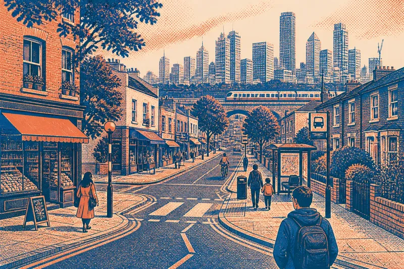
Imagine you can see a row of high-rise buildings beyond a railway line. If you assume the whole area is defined by those towers, you may miss the older shopping street on the other side of the tracks. Walk towards the district by a public route and note how the building heights, entrances and street uses change. The expected result is a more precise picture: not a single dramatic silhouette, but a set of connected places with distinct roles.
Do you want to understand how a neighbourhood feels on foot?
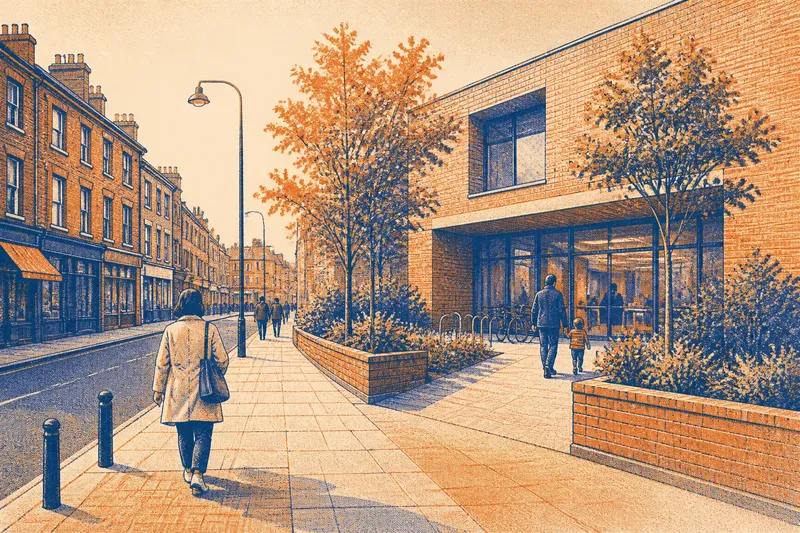
Start with the street’s edges. Look at what faces the pavement: doorways, shop windows, blank walls, gardens, loading bays or entrances to shared buildings. These details influence whether a block feels active, sheltered, exposed or difficult to read. A street with frequent doors and small businesses offers a different kind of contact than one lined with fences or long stretches of closed frontage.
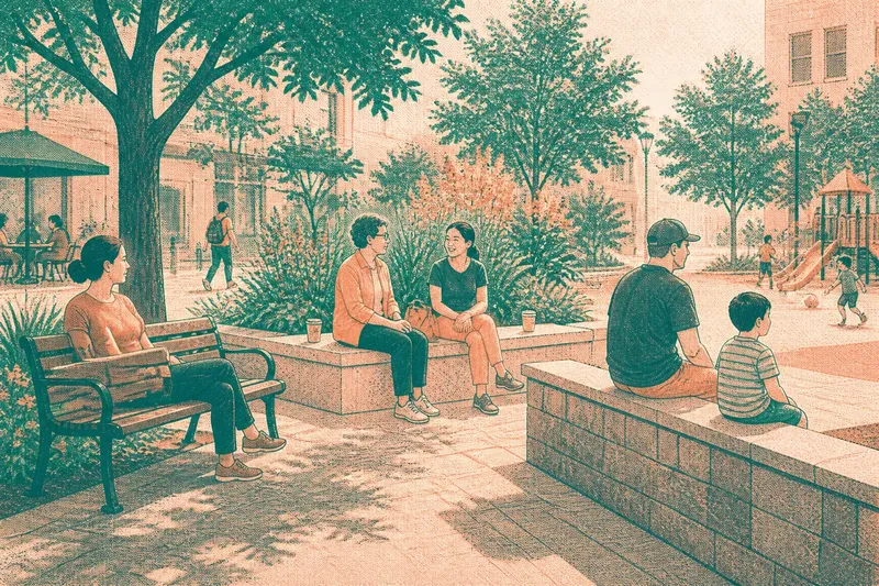
Then notice how the ground changes. A wide pavement can narrow beside a bus stop; a busy road may become a calmer lane after a junction. Look for kerbs, crossings, steps, ramps, tree pits and places where people naturally gather. The point is not to grade a neighbourhood by one feature. It is to see how features meet: a useful crossing can connect two lively streets, while an awkward barrier can make nearby destinations feel far apart.
Pay attention to sound and pace as well. A school run, delivery vehicle, café terrace or bus route can shape a block at particular times. One visit catches only one moment, so distinguish what is plainly visible from what you are guessing about the rest of the day. If a place seems quiet, it may be residential, between rushes, or simply on a side street away from the main route.
A practical note helps: describe what you can point to, then leave room for what you have not seen.
Which clues fit the situation you are in?
The right way to read a neighbourhood depends on what you need from it. Use the situation that comes closest to yours, then focus on the evidence that answers that particular question.
- If you are visiting for a short time: follow a public route between a transit stop and a destination, noticing where the street changes in use or character. This fits a brief visit because it gives you a grounded sense of the route without pretending to reveal every part of the district.
- If you are considering a move: look at the daily destinations that matter to you, such as a grocery shop, a park entrance or a bus stop, and notice the streets connecting them. This fits a housing search because a neighbourhood is experienced through repeated journeys, not just a view from one building.
- If you are trying to understand local identity: notice names and signs, independent businesses, places of worship, community noticeboards and public gathering spots. This fits a cultural question because visible signs of local life can suggest what matters in a place, while no single sign stands for every resident.
- If you are comparing two areas: use the same kind of route in both, such as a main street leading into a residential block. This fits a fair comparison because it lets you notice differences in frontage, crossings and activity without relying on a dramatic landmark in only one area.
- If you are short on time: choose one junction and look in each direction before moving on. This fits a quick impression because a junction often reveals several adjoining street types, though it cannot substitute for a fuller walk.
Keep the purpose narrow. A route that helps you assess a daily commute may not explain a district’s cultural history, and a lively shopping street may say little about quieter residential blocks nearby.
What should you notice on a neighbourhood walk?
A walk becomes more revealing when you look for transitions rather than collecting landmarks. Notice where a commercial strip gives way to homes, where a broad road meets a narrow street, or where a park edge changes the pace of the pavement. These thresholds show how local areas connect and where one kind of activity starts to fade into another.
Track the relationship between buildings and everyday uses. Are ground-floor rooms open to the street or set behind gates? Do people enter buildings directly from the pavement, through courtyards, or from a shared lobby? Are there visible signs of repair, deliveries, outdoor seating or children arriving at school? The answers describe how a block meets daily life more clearly than its height or architectural style alone.
Look for small public cues, too. A community noticeboard, a bus shelter with a clear route map, a well-used corner shop or a path through a green space can make a district legible to someone new. A striking landmark may draw the eye, but these modest details often explain how residents orient themselves and where their routines intersect.
Say you are walking from a library to a local park and reach a junction with a supermarket on one corner and a row of houses on another. If you pause to note the crossing, the shop entrances and the change in street noise beyond the junction, you can describe how the two blocks differ and how they connect. The expected result is a useful account of a small area, rather than a sweeping claim about the whole neighbourhood.
Does one striking street represent the whole district?
Usually, no. A neighbourhood can contain a busy high street, quiet back streets, housing estates, workshops and green edges within a short walk. The most photographed block may be memorable precisely because it is unusual. Treat it as one part of the portrait, then check what lies beside it and beyond it.
Look for contrast without turning it into a simple ranking. A street of independent shops is not automatically more “authentic” than a residential avenue, and a newer building does not erase the routines around it. Each street has a particular mix of access, activity and public contact. The aim is to describe that mix, not to decide that one style of place is the real neighbourhood.
Boundaries can also be less clear on the ground than they appear on a map. A railway, busy road or change in building type may mark a practical break, while shops and local routes continue across it. If you are unsure where one area ends, describe the transition you observed rather than assigning a firm line based on appearance alone.
When comparing areas, keep your notes specific: “the pavement narrows beside the bus stop” is more useful than “this side feels worse”. Specific observations let another person understand what you mean and help you distinguish a change in the street from your own preference.
What questions help you read a neighbourhood accurately?
Can a skyline tell me where the neighbourhood centre is?
Not reliably: tall buildings may mark offices, housing or a transport hub, while local shops and meeting places sit elsewhere. Look for repeated routes, everyday services and the places where people naturally pause.
How can I tell where one local area changes into another?
Notice shifts in street use, building entrances, shopfronts, traffic and public routes rather than expecting a clear border. A railway or main road may divide movement, but the practical transition can begin well before or continue beyond it.
What should I record if I am comparing neighbourhoods?
Record visible details tied to your purpose: the route to a bus stop, the ground-floor uses, crossing points or access to a park. Use comparable routes in each area so the contrast comes from the places, not from different ways of looking.
Is a busy high street a fair portrait of the whole neighbourhood?
It is a useful part of the portrait, especially for shops and public activity, but it leaves quieter streets and other local routines out of view. Walk one or two adjoining blocks before drawing a broader impression.
How do you turn an impression into a useful portrait?
Write down a few observable details and connect them to the question you came with. For a visitor, that might be a clear route from a station to a market, a difficult crossing on the way, and a calm side street nearby. For someone considering a move, it might be the location of daily services and the character of the routes between them.
Separate observation from interpretation. “Several shopfronts face the pavement” is something you can see; “people here know one another” is an inference you would need more than a passing glance to support. That distinction keeps a quick portrait lively without turning assumptions about residents into facts.
Use the phrase neighbourhood portrait to mean a grounded, partial account, not a claim to describe every block or person. A skyline may help you find your bearings, but local character appears in the details at walking pace: a doorway that opens straight onto the street, the turn from a shop-lined road into a row of homes, or the route people take between a stop and a park. Make one observation more specific before deciding what the whole view means.